|
Garmin Custom Maps - Quehanna Trail (Pennsylvania)
Here is a map of the Quehanna Trail. The trail is a 75-mile loop trail in the Moshannon and Elk State Forests of Pennsylvania. The Trail passes through some of the most wild and beautiful country Pennsylvania has to offer.
The mapps are broken up into two sections (Eastern and Western sections) and because of the large area each custom map set include between 42 and 48 tiles.. Garmin Custom Maps work on compatible Garmin GPS units including the following: The Custom Map File: Note: If the resulting file downloads as a .zip file, simply rename it to .kmz before loading on your GPS device.
Sample GPS Images of the Custom Map: 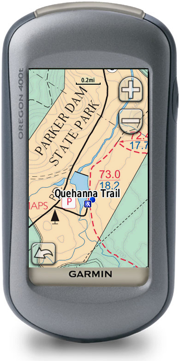 _________ _________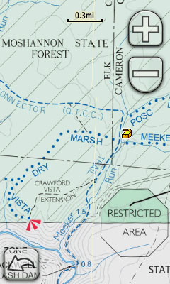 __________ __________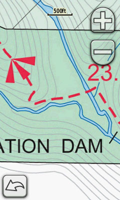 The Specifics: HTML Code:
Eastern Section Western Section Image Tiles: 42 tiles 48 tiles Size: 23.4MB 23.9MB Georeference Accuracy: Very Good Very Good Clarity Level Range: 0.3mi down to 200ft 0.3mi down to 200ft Draw Order Setting: 50 50 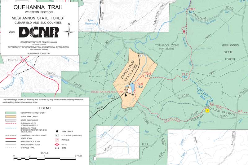 Map Source: This map is available in PDF format from the Pennsylvania's DCNR website: http://www.dcnr.state.pa.us/forestry/recreation/hiking/stateforesttrails/quehannatrail/index.htm |