Quehanna Trail GPS and Google Earth Download Page
Quehanna Trail GPS Tracks and Waypoints
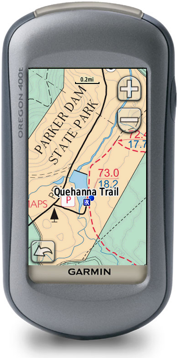
Download waypoints and tracks for the Quehanna Trail. Six tracks are provided in each file (The entire trip and tracks for each day (1-5) Tracks were made using a Garmin Oregon 400t GPS and verified with a separate Garmin GPSMAP 60Csx
Waypoints contained in the files mark established campsite locations, water sources, vistas and scenic areas, and locations that some photos were taken.
Download: GPS eXchange File containing all tracks and waypoints (.gpx)
See the Garmin Custom Maps Page with Quehanna Trail Maps
Quehanna Trail - Google Earth Tour
Google Earth (.kmz) (20MB). This includes a the ability to play a Google Earth Tour. See instructions below.
Google Earth Tour Instructions
- 1 - Download that file and run in Google Earth 5.0 (or newer) and follow these steps.
- 2 - Turn on Terrain in Google Earth: Use menu: Tools> Options...> click the "3D View" tab
- a - Check the "Show terrain" box
- b - Set Exageration level to 2.0
- 3 - Click the "Touring" tab and set the following values
- a - Camera Tilt Angle: 60 degrees
- b - Camera Range:
- c - Speed: 500
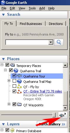
- 4 - In the left Places panel , Open up the "Quehanna Trail" tree listed under Temporary Places.
- 5 - Within that tree, click on (but do NOT check" the "Quehanna Tour"
- 6 - At the bottom right of Places Panel you will see camera icon. Click on it.
Return to Quehanna Trail main page on the Zinnware site.